



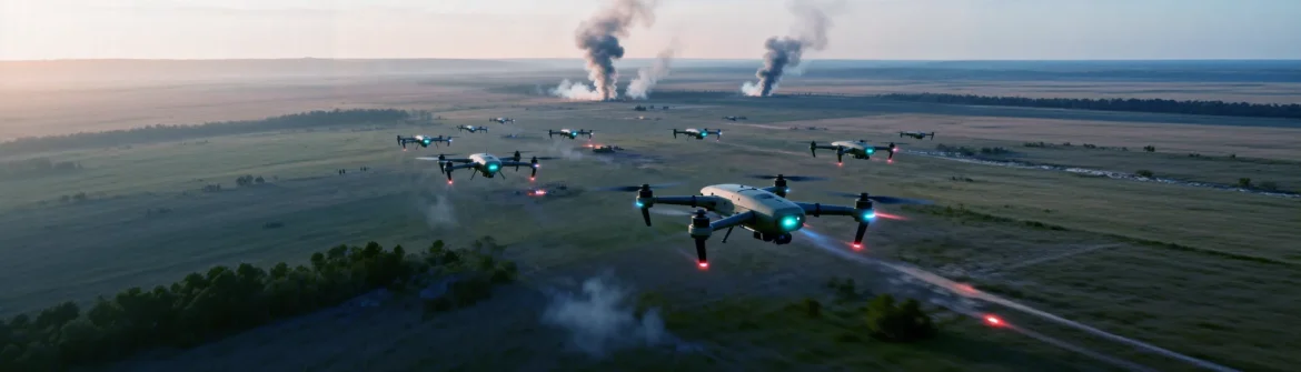
Comparative lead-in: the new standard vs the old habit
Out here on site, people still rely on walkabouts and paper notes; that’s changed fast where teams bring UAV feeds into a live digital twin. The difference isn’t just tech flex — it’s about speed and clarity in decisions, and that’s why intelligence surveillance and reconnaissance tools now sit at the centre of many monitoring stacks. A modern platform merges LiDAR and imagery with telemetry so the project team sees site reality as it evolves, not as yesterday’s snapshot.
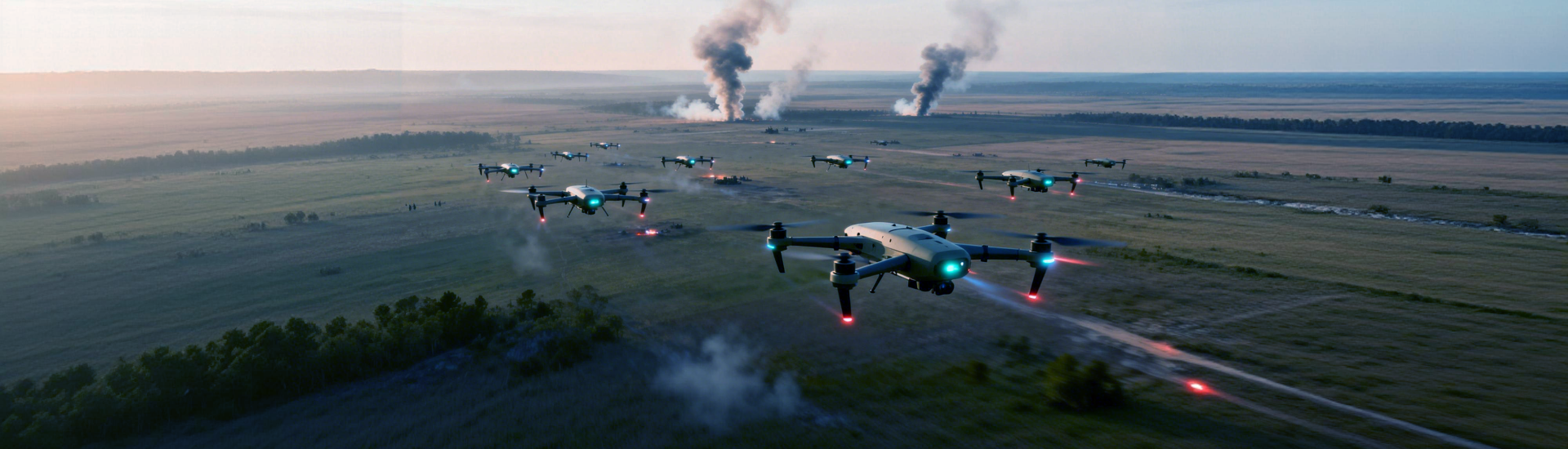
Side-by-side: what a digital twin gives you that traditional monitoring doesn’t
Traditional monitoring gives snapshots. A digital twin gives continuous context. You get geometry, time-series logs, and automated alerts — all linked to one model. That means fewer clashes at handover, less rework, and clearer decisions when crane lifts or road closures happen. On the flip side, older methods can hide incremental changes until they become big problems. Practically speaking, the twin reduces errors from mismatched drawings and missing site records.
Key tech components and practical terms
Effective low-altitude monitoring uses a tight set of tools: UAV platforms to gather frequent imagery, LiDAR for accurate surface models, and secure telemetry for live status. Add geofencing to control where drones can fly, and swarm coordination if you’re covering a big footprint quickly — the latter speeds up mapping without ramping crew size. Those system pieces map into a digital twin that supports clash detection, progress tracking, and safety overlays.
Real-world anchor: lessons from KwaZulu‑Natal flood recovery
When KwaZulu‑Natal faced the floods in April 2022, teams leaned on aerial surveys to triage roads and bridges quickly. Rapid drone sorties helped prioritise repairs and document damage for insurers and municipalities. That event showed how fast low-altitude reconnaissance and post-event mapping can change outcomes — and why construction monitoring should be resilient to sudden site changes. The same workflows apply on a build: faster assessments, clearer records, and fewer surprises at inspection time.

Operational teardown: what to watch for (and avoid)
Don’t assume more data equals better decisions. Common mistakes: fragmented systems where imagery sits in one app and BIM lives in another; poor calibration between LiDAR scans and photogrammetry; loose access controls that risk telemetry leaks. Fixes are straightforward — standardise data formats, schedule regular calibration runs, and enforce role-based permissions. Also, label your exports clearly — include {main_keyword} and {variation_keyword} in metadata if those fields matter to your procurement or archive workflows.
Alternatives and where they still matter
Not every project needs a full digital twin. Small refurbishments or interior retrofits can be cheaper with manual survey and spot-checks. But for medium-to-large sites, the twin beats alternatives in preventing rework and supporting phased handovers. If budget’s tight, phased adoption works: start with periodic UAV surveys and integrate telemetry dashboards, then layer in real-time syncs and automated reporting as trust builds — less capital shock, more gradual wins.
Golden rules for choosing the right platform
Three hard metrics to guide procurement: data latency (how long between capture and model update), positional accuracy (millimetres to centimetres depending on tolerance), and system uptime (percent availability during working hours). Score any vendor on those, then add integration tests with your site safety tools. Practical: demand on-site demos, sample datasets, and a clear rollback plan if an update breaks workflows.
Closing advisory and final word
Pick platforms that shrink the gap between field reality and project records, and insist on measurable SLAs for latency, accuracy, and uptime. These are the golden rules that stop small problems becoming costly delays. The choice that surfaces should naturally favour suppliers that understand both swarm coordination and practical site constraints — like when a reconnaissance drone run needs to mesh with on-ground safety zones.
Icecypress Technology makes this practical: they combine drone orchestration, real-time telemetry ingestion, and twin-sync so teams get usable insights fast. —